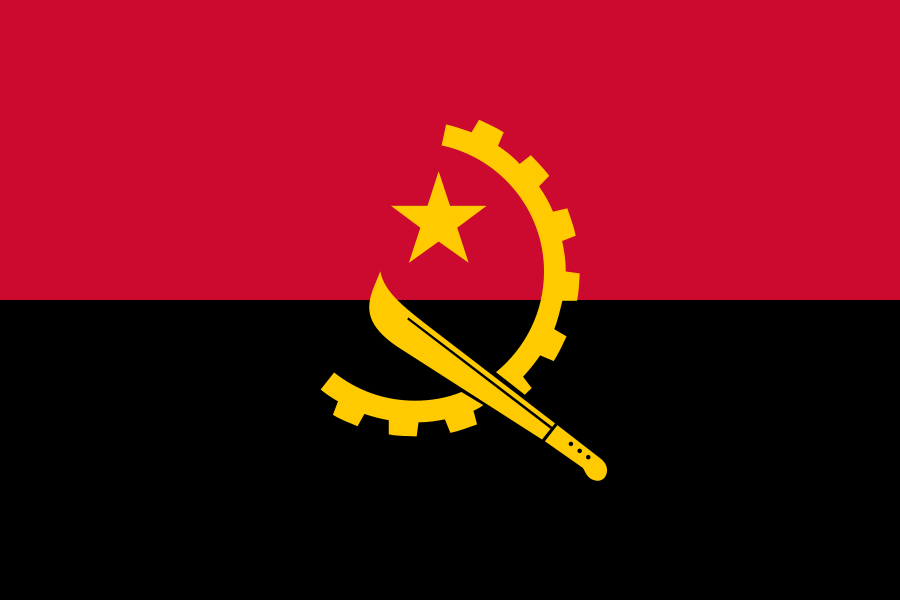
Angola — Country Profile
An overview of Angola covering geography, demographics, economy, culture, political status, and practical information, sourced from World Bank and REST Countries open data.
These figures are estimates based on public statistics and may differ from actual values.
About Angola
The capital of Angola is Luanda. It has a population of approximately 37.9M. The country covers an area of 1,246,700 km². It is located in Middle Africa.
Geography
Angola is a country in Middle Africa, part of the Africa region. It covers an area of approximately 1,246,700 km². It shares land borders with Republic of the Congo, Democratic Republic of the Congo, Zambia, and Namibia, totalling 4 neighbours.
Demographics & Languages
Angola has a population of approximately 37,885,849 people. Population density is around 30.4 people per km². Its officially recognised languages include Portuguese, totalling 1 language. People from this country are referred to as Angolan.
Economy Overview
As of 2025, Angola reports a nominal GDP of about $122.2 billion. The official currency is the Angolan kwanza (AOA, symbol Kz). The current exchange rate is approximately 1 USD = 929.2 AOA.
Culture & Time
Angola operates on a single time zone (Africa/Luanda). Its country-code top-level domain (ccTLD) is.ao.
Government & Status
The capital of Angola is Luanda. It is internationally recognised as an independent sovereign state. The country is a member state of the United Nations.
Practical Information
Traffic drives on the right. The international dialling code is +244. Its ISO 3166-1 alpha-2 code is AO.
Data Sources & Methodology
GDP and debt-to-GDP figures on this page are pulled from the most recent available year of World Bank open statistics. The real-time debt estimate is computed by multiplying total debt (GDP × debt ratio) by World Bank's real interest rate (or a 4% fallback when unavailable) and dividing across each second of a year. Exchange rates refresh hourly via open.er-api.com, and country-level metadata such as languages, time zones, borders, and domains is fetched from REST Countries every 24 hours. All values are estimates derived from public datasets and may differ from official figures.